Empowering agriculture with data
Strategic insights in crop production based on cutting edge AI technologies
* No credit card required
Strategic insights in crop production based on cutting edge AI technologies
* No credit card required
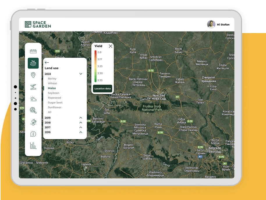
Decision-making in agriculture must be data-driven. Our Space Garden platform delivers strategic and actionable insights for every stage of agricultural production.
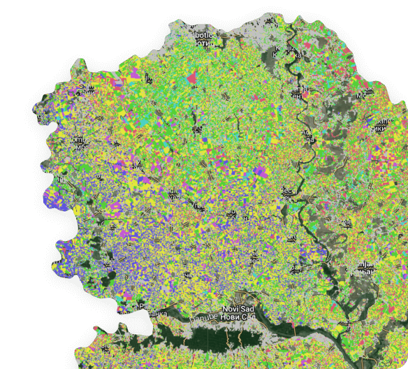
Using AI-driven satellite image processing, we identify different arable crops and generate land cover maps for every agricultural season.
Our productivity index derived from the satellite encapsulates the quality of soil, weather and management on a particular piece of farmland.
Using advanced satellite image processing techniques based on AI, we are detecting damages caused by drought, water logging, hail or
Yield prediction for major arable crops updated bi-weekly. Historical yield maps are available from 2005.
Crop yields and areas are aggregated and the statistics are calculated at a regional, county, municipality or cadastral municipality level.
Using AI-driven satellite image processing, we identify different arable crops and generate land cover maps for every agricultural season.

Our productivity index derived from the satellite encapsulates the quality of soil, weather and management on a particular piece of farmland.
Using advanced satellite image processing techniques based on AI, we are detecting damages caused by drought, water logging, hail or
Yield prediction for major arable crops updated bi-weekly. Historical yield maps are available from 2005.
Crop yields and areas are aggregated and the statistics are calculated at a regional, county, municipality or cadastral municipality level.
By analyzing the yield potential and running the simulations in different weather scenarios, we can quantify the risk of clients or estimate the value of farmland.
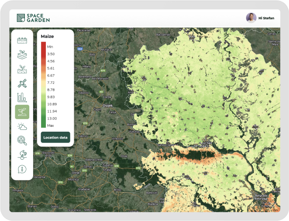
Using crop maps, satellite crop monitoring and yield prediction based on AI, companies including distributors, traders, and seed companies can optimise their sales, distribution, and logistics.
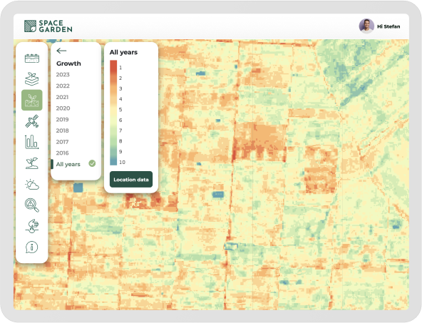
By processing satellite data, we provide historical crop rotation and productivity maps, as well as AI-powered damage detection and yield prediction, for the assessment of risk and productivity of farmers, crucial parameters in crop banking and insurance.






Using advanced machine learning concepts, we can help you crunch the data and optimize your operations.
* Cancel at any time
We will get in touch with you shortly.